STROMNESS LOCAL PLACE PLAN
LOCATION : ORKNEY, SCOTLAND
DATE : 2019
PROJECT TYPE : LOCAL PLACE PLAN
COLLABORATION : PLANNING AID SCOTLAND, NICK WRIGHT PLANNING
PHASE OF WORK : FEASIBILITY / VISIONING
What’s Next For Stromness was a place-making and engagement project which Iglu co-facilitated with the people of Stromness, Orkney during Spring 2019. As part of a multi-disciplinary team including PAS (Planning Aid Scotland), Iglu produced a Local Place Plan which considered how Stromness could develop during the following decade.
Conversations with the community centred around the long-term aim of making Stromness a more accessible, active and sustainable place to live, work, learn, visit and play.
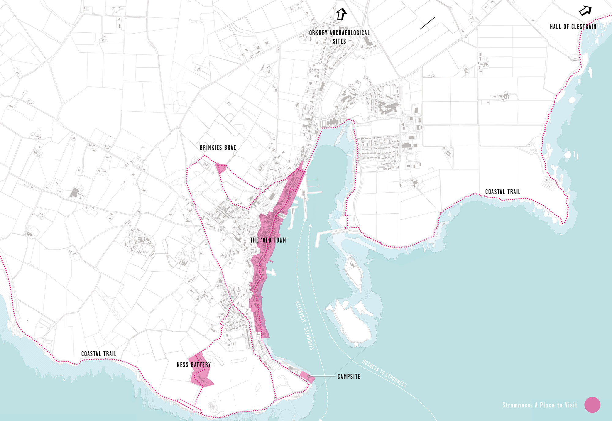
A PLACE TO VISIT GRAPHIC

VIEW FROM BRINKIE’S BRAE
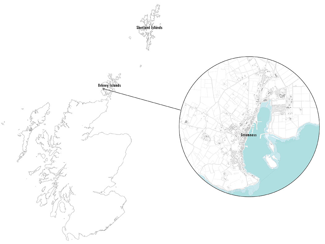
STROMNESS IN CONTEXT
Stromness is a coastal town on the south-west corner of the Mainland of Orkney. The town is the second largest in Orkney, with a population of approximately 1,800 (source: 2011 Census), a total which has been fairly static in recent decades.
Stromnessians traditionally pride themselves on their outward looking and pioneering spirit. For centuries, the town has looked to the sea, from maritime explorers like John Rae (credited with discovering the final section of the North-West Passage in the 19th century) to a contemporary focus on renewable marine technologies, fishing and nautical training

VISION FOR STROMNESS GRAPHIC
A series of charrettes were held over the course of four days with over 250 local residents who were encouraged to share their ideas and aspirations for the future of Stromness.
The project team then assimilated, collated and shaped their views into a community-led Local Place Plan which summarised a vision for the next decade. The place plan was supplemented with an action plan which identified priority projects for change, outlining a range of potential key players, delivery methods, time-frames and proposed visualisations.
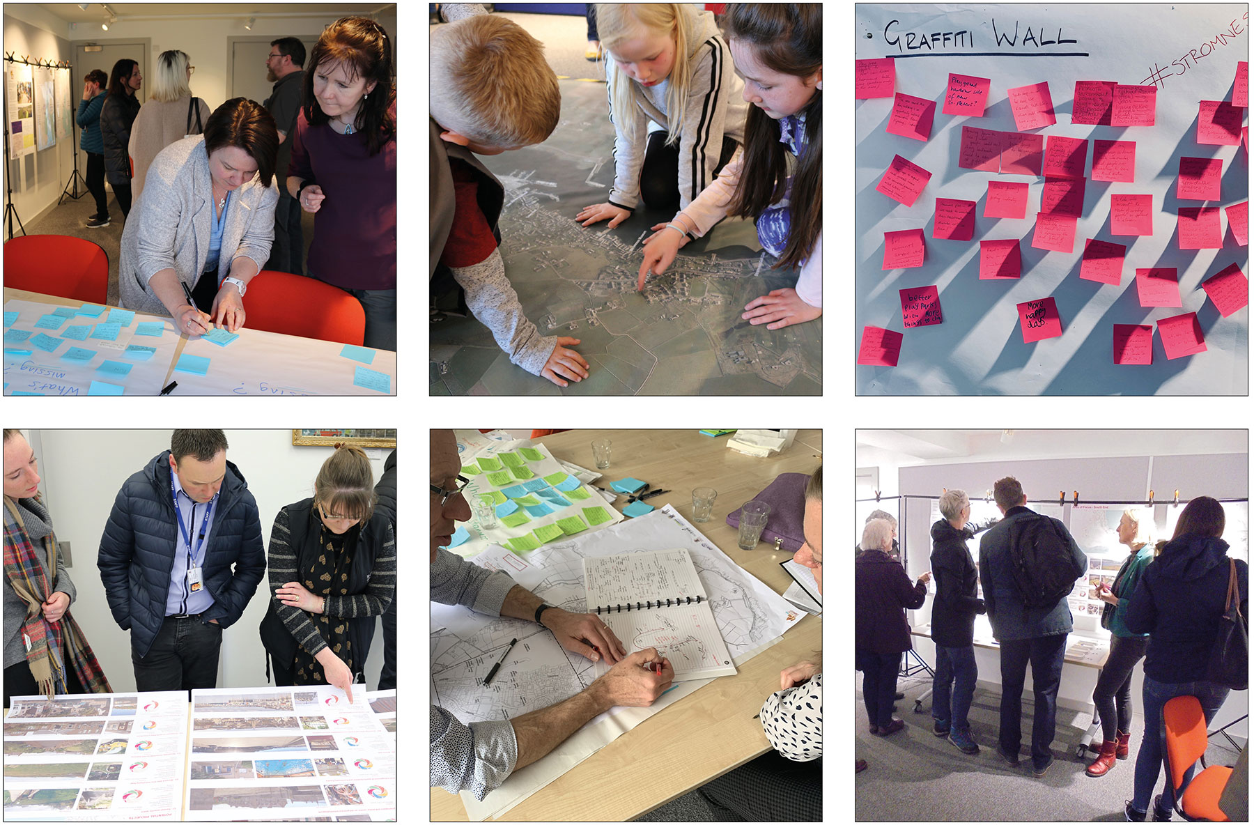
ENGAGEMENT EVENTS
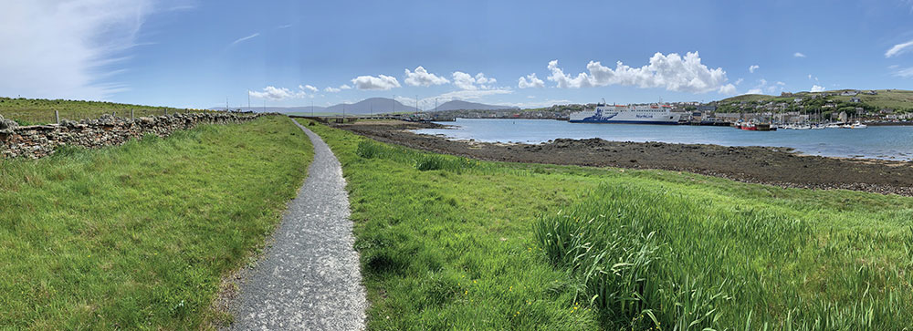
EXISTING VIEW
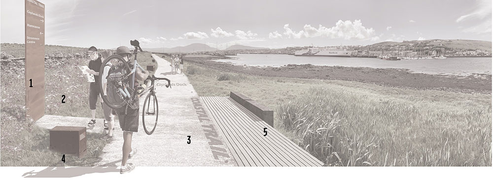
ANNOTATED VISUALISATION

IDEAS FOR FUTURE CHANGE VISUALISATIONS
The photograph of the existing shore path shows a narrow, gravel path, approximately 1.2m wide.
The proposed upgrade would provide facilities to rest, sit and take in the amazing views across the bay.
The new widened path would include lighting, signage and wayfinding measures with an accesible route to the waterfront.
The Watersports Hub is proposed to be located at the existing sailing club at Ness Point, at the southern end of Stromness. Access is from the southern end of Ness Road, which also provides access to the Point of Ness Caravan and Camping Site.
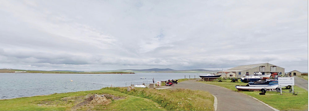
EXISTING VIEW

ANNOTATED VISUALISATION

IDEAS FOR FUTURE CHANGE VISUALISATIONS
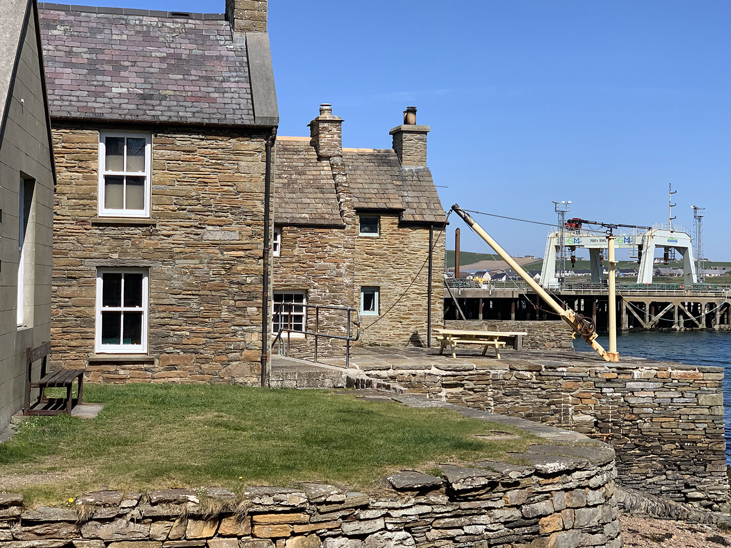
VIEW OF VERNACULAR ARCHITECTURE AND STROMNESS HARBOUR
